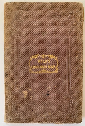
New Map of Great Britain Particularly Shewing the Inland Navigation by the Canals; and Principal Rivers, with the Railways, Finished and in Progress, and the Principal and Secondary Stations
New Map of Great Britain Particularly Shewing the Inland Navigation by the Canals; and Principal Rivers, with the Railways, Finished and in Progress, and the Principal and Secondary Stations, James Wyld, 1845. Linen-backed in original cloth folder. Moderate wear and rubbing to covers; gilt remains strong. Map is lightly.....